Off the Map and Into the Real Tennessee: The Grassroots Cartographers Charting What Signs Never Told You
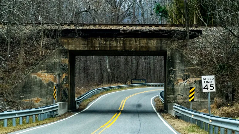
There's a gravel road in Cannon County that curves past a collapsed stone wall, a hand-dug well, and a cedar tree so old the locals just call it "the Old Cedar." It doesn't appear on Google Maps. It doesn't have a historical marker. And until recently, the only people who knew what it meant were the families whose grandparents once gathered there for summer singings and community dinners.
That's exactly the kind of place Marisol Henning wants to find.
Henning, a former schoolteacher turned self-described "cultural cartographer" based out of Smithville, has spent the last four years driving the back roads of Middle Tennessee with a notebook, a GPS unit, and a stubborn conviction that the most important parts of a place are usually the ones nobody bothered to label. She's part of a loose but growing movement of Tennesseans who are creating their own maps—hand-drawn, digitally layered, or collaboratively crowd-sourced—to document the cultural geography that official signage and tourism brochures almost always miss.
What Official Maps Leave Out
Tennessee has no shortage of designated scenic byways, heritage trails, and tourism corridors. But ask anyone who grew up in a rural county and they'll tell you: the real story is between those markers.
"There are places that mattered deeply to entire communities for generations that have zero public documentation," says Dr. Rufus Tate, a cultural geographer at a small Tennessee university who has been consulting with several independent mapping projects across the state. "A creek bank where a church used to baptize. A field where a community fair ran for fifty years. A crossroads store that burned down in 1962. These places shaped people's lives, but they're invisible on any official record."
The grassroots mapping movement is trying to change that—not by lobbying for new historical markers, but by creating accessible, living documents that communities themselves can update and share.
In Grundy County, a retired postal worker named Delbert Pruitt has been compiling what he calls a "memory atlas" of the Sequatchie Valley. It started as a personal project—a way to record stories his father told him about places that no longer exist. Now it's a collaborative document with contributions from more than sixty local families, annotated with photographs, oral history excerpts, and hand-drawn sketches of structures that were demolished decades ago.
"People show up at my door with shoeboxes of pictures," Pruitt says, laughing. "I didn't expect that. I just started drawing."
Art Meets Archaeology
Not every Tennessee mapmaker is working from a historian's angle. Some are approaching the landscape as artists, and the results are striking.
Nashville-based illustrator Priya Connell has been collaborating with rural communities in West Tennessee to create large-format illustrated maps that function as both artwork and community record. Each map centers a specific township or hollow and uses visual storytelling—hand-lettered place names, small vignettes of local landmarks, illustrations of seasonal rhythms—to capture the personality of a place in a way that coordinates and contour lines never could.
"A map can be a love letter," Connell says. "When I sit down with a community and ask them to tell me what matters, what they want people to know, what they'd be heartbroken to see forgotten—that's when the real map starts to emerge."
Her prints have been displayed in county libraries, community centers, and local restaurants. Several have sold out, with proceeds going back to the communities that contributed to them. One, depicting the cultural geography of a small Haywood County community, was purchased by the Smithsonian's National Museum of African American History and Culture.
A New Kind of Tourism
There's a practical dimension to all this, too. As Tennessee continues to see increased interest from visitors looking for something beyond the usual tourist trail, grassroots maps are quietly becoming travel tools.
Several county tourism offices have begun partnering with independent mapmakers to create what one coordinator called "authentic experience guides"—resources that point visitors toward community-run events, family-owned roadside stands, swimming holes with local names, and gathering spots that simply don't exist in any official database.
"People are tired of the curated version," says Jenna Alcott, who runs a small heritage tourism consultancy in East Tennessee. "They want to feel like they found something real. And the truth is, Tennessee is full of real things. We just haven't always made them easy to find."
Henning agrees, though she's careful about the tension between sharing and overwhelming. "There's a version of this that goes wrong," she admits. "You put a place on a map, it goes viral, and suddenly it's ruined. So we're thoughtful. Some things we document for preservation and keep within the community. Others we share more broadly. It's a conversation, not a formula."
The Road Ahead
What makes this movement feel distinctly Tennessean is its texture—the way it blends oral tradition with new tools, the way it trusts community knowledge over institutional authority, the way it treats a cedar tree or a creek crossing as worthy of the same attention as a courthouse or a battlefield.
Pruitt puts it simply: "Tennessee's got fifty counties, and every single one of them has places that changed somebody's life. That deserves to be written down somewhere."
He's still drawing. So is Connell. So is Henning, out there on some Cannon County gravel road, pulling over to jot down the name of a field that only the neighbors still remember.
The map isn't finished. It probably never will be. And somehow, that feels exactly right.