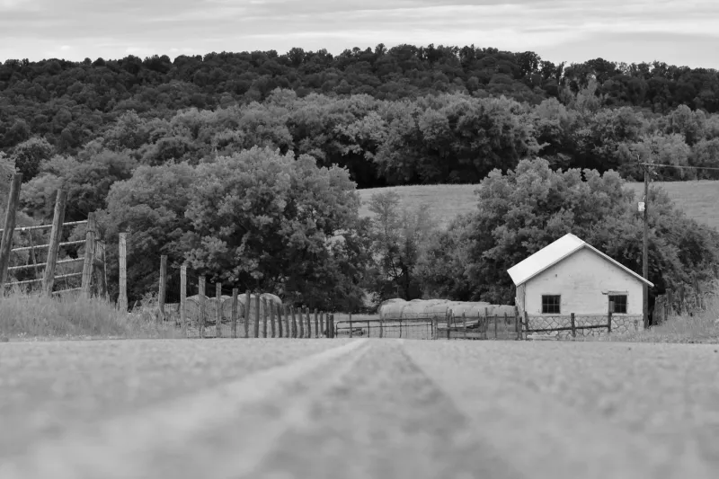
Written in the Land: The Tennesseans Hunting Down Place Names History Almost Erased
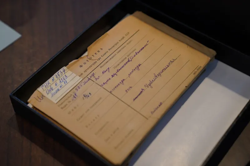
There's a creek in Bledsoe County that most modern maps just call a drainage line. No label, no name, no story. But ask the right person — someone who's spent years combing through land deeds, surveyor's notebooks, and handwritten church records — and they'll tell you it was once called Sycamore Branch, named by a family that homesteaded its banks sometime before the Civil War. The name didn't disappear because it was unimportant. It disappeared because no one was paying close enough attention when the old maps got redrawn.
That kind of slow erasure is exactly what a growing number of Tennesseans are pushing back against. Cartographers, amateur historians, genealogists, and plain old curious neighbors are joining forces — sometimes formally, sometimes just over coffee — to document the place names that fell through the cracks of official record-keeping. And what they're finding is that Tennessee's landscape is far more layered, and far more storied, than most GPS apps would ever suggest.
What's in a Name (Turns Out, Everything)
Place names aren't just labels. They're compressed history. A hollow named after a family tells you who got there first. A creek named for a physical feature — Redbank, Stony Fork, Mudlick — tells you what the land was like before industry or agriculture changed it. A vanished town name like Possum Trot or Defeated Creek carries personality, humor, and a sense of the people who coined it.
When those names disappear from maps, something real gets lost. Not just a word, but a thread connecting present-day residents to the generations that came before them. That's the argument researchers like those working with local historical societies across Middle and East Tennessee have been making for years, and it's starting to gain traction beyond the genealogy community.
The Tennessee State Library and Archives holds an enormous collection of historical maps, plat books, and survey records — many of them digitized but not yet fully cross-referenced with modern geographic data. Independent researchers have been quietly building bridges between those old documents and today's landscape, one place name at a time.
Grassroots Cartography in Action
In counties like Fentress, Overton, and Scott — areas where the land stayed rural and the old families stayed put — community historians have been compiling what some call "shadow maps": informal documents that layer historical place names over current geography. These aren't official publications. They're Google Docs shared in Facebook groups, hand-annotated PDFs passed around at county fair booths, printed inserts tucked into local library newsletters.
The methodology is as varied as the people doing the work. Some researchers focus on USGS topographic records and track when names were officially dropped from federal databases. Others dig into newspaper archives, looking for references to community gathering spots, mill sites, and crossroads stores that once anchored neighborhoods now absorbed into larger towns or simply gone quiet. A few have started recording oral histories with older residents, capturing names that exist nowhere in writing — names that live only in the memory of people in their eighties and nineties.
What's remarkable is how much these researchers are finding. Tennessee's sheer geographic variety — mountains, plateaus, river valleys, flatlands — generated an extraordinary density of named places. Small communities that lasted only a generation or two still left names on the land. Some of those names have Indigenous origins, carried forward imperfectly through English transliteration. Others are bluntly descriptive, practical, occasionally funny. All of them mean something.
The Digital Push
A handful of Tennessee-based projects have started moving this grassroots work into more permanent digital form. Local historical societies in counties like Sevier, Sullivan, and Maury have launched online databases where researchers can submit historical place name documentation, complete with source citations and geographic coordinates. The goal isn't to override official maps but to create a parallel record — one that anyone researching family history, writing local journalism, or just curious about their own backyard can actually use.
Some of these efforts have caught the attention of university geography and history departments, which have begun collaborating with community researchers to bring more rigor to the documentation process. That partnership cuts both ways: academics get access to decades of local knowledge they couldn't replicate from a campus office, and community historians get tools and platforms that give their work longer legs.
There's also a generational hand-off happening. Younger Tennesseans — many of them with roots in the same communities their grandparents grew up in — are picking up the work with fresh energy and digital skills. They're building interactive maps, launching Instagram accounts dedicated to vanished communities, and using drone photography to document landscape features that match old survey descriptions. The aesthetic is different from what their predecessors produced, but the core impulse is the same: don't let this disappear.
Why It Matters Beyond the History Buffs
It's easy to frame this as a niche hobby, something for people who love dusty records and old courthouse basements. But the implications of this work reach further than that.
For Indigenous communities with historical ties to Tennessee, the recovery of pre-colonial and early contact-era place names carries real cultural weight. For Black Tennesseans researching family histories disrupted by slavery and displacement, finding the names of communities their ancestors built — communities that were often deliberately excluded from official records — is an act of reclamation. For rural communities watching their populations shrink and their histories thin out, having someone document what was there before is a form of dignity.
And for anyone who's ever driven a back road in Tennessee and felt like the land had more to say than the map was letting on — well, these researchers are basically translating.
The Names Are Still Out There
The people doing this work are quick to say they're not close to finished. Tennessee has 95 counties, thousands of miles of waterways, and more than two centuries of documented settlement history layered over Indigenous histories that go back much further. The number of place names that have been lost, partially lost, or never properly recorded in the first place is genuinely staggering.
But the momentum is real. Every recovered name is a small victory — not just for the researchers who found it, but for the communities it belongs to. When a creek gets its name back on a local map, when a vanished crossroads community gets a paragraph in a county history, when a hollow that nobody outside the holler ever knew about gets a pin on a digital archive, something gets restored that no one could quite put a price on.
Tennessee is a state that takes its sense of place seriously. These mapmakers are making sure that sense of place runs as deep as the land itself.